Engineering & Construction Support
Embarking on a construction project in Jacksonville, FL, involves numerous critical decisions, and among the most impactful is selecting an engineering and land surveying partner. This choice isn't merely procedural; it can genuinely make or break your entire project timeline and overall budget. A skilled and experienced partner can proactively identify potential challenges and ensure foundational accuracy, while a less capable one could lead to costly delays, unexpected reworks, or even legal complications. At NorthAxis Land Survey, we understand these stakes intimately, and that's precisely why we've diligently built our reputation on delivering not just services, but truly precise and unfailingly reliable solutions designed to keep your projects consistently moving forward smoothly.
Comprehensive Land Surveying Services
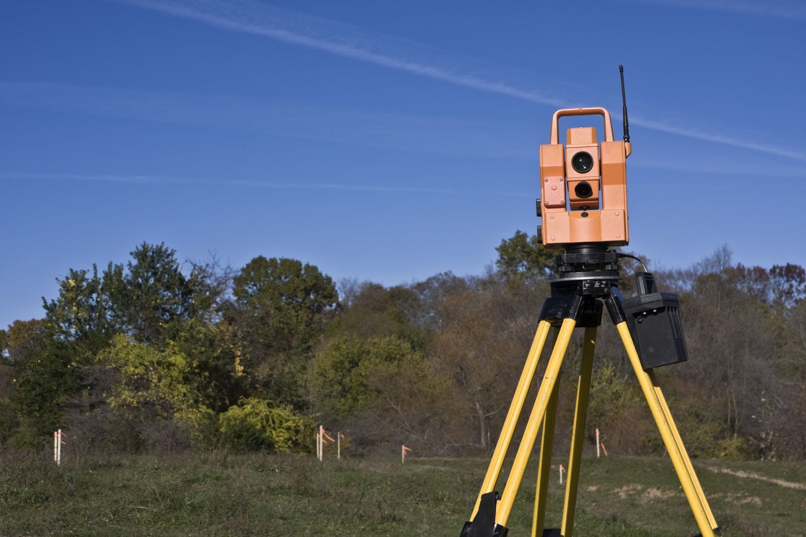
Our team provides complete land surveying solutions tailored to Jacksonville's unique terrain and development challenges. We understand that Jacksonville's coastal location and varied topography require specialized knowledge. Our surveyors have extensive experience working with everything from wetland boundaries to historic district requirements, ensuring your project complies with all local regulations from day one. From boundary surveys for residential properties to complex topographic mapping for commercial developments, we handle projects of all sizes with the same attention to detail. Our state-of-the-art equipment ensures accuracy down to the centimeter, giving you the confidence to move forward with your construction plans.
Engineering Support That Keeps Projects on Track
Beyond surveying, our team offers comprehensive engineering support services designed to streamline your construction process. Our civil engineers work closely with contractors, architects, and developers to provide site analysis, drainage solutions, and infrastructure planning that meets Jacksonville's specific building codes and environmental requirements. Our proactive approach means we identify potential issues before they become costly problems. Whether you need flood zone certification, utility mapping, or construction staking, our team delivers solutions that save you time and money throughout the project lifecycle.
Local Expertise, Proven Results
We've successfully completed hundreds of projects across Duval County, from small residential lots to large-scale commercial developments. We invest in the latest surveying and engineering technology to provide superior accuracy and faster turnaround times. Our drone surveying capabilities allow us to quickly map large areas and difficult-to-access sites, while our GPS and robotic total stations ensure millimeter precision for critical measurements. Our relationships with local permitting offices and regulatory agencies help expedite approvals and ensure smooth project execution. Our clients consistently choose us because we deliver on our promises. We meet deadlines, stay within budget, and maintain clear communication throughout every project phase. When unexpected challenges arise—and they always do in construction—our experienced team provides creative solutions that keep your project moving forward.
Ready to Start Your Next Project?
Don't let surveying and engineering challenges delay the progress of your Jacksonville construction project. At NorthAxis Land Survey, we specialize in providing precise, reliable solutions that keep your plans on track. From boundary surveys to topographic mapping, our expert team ensures every detail is accounted for, giving you the confidence to move forward without setbacks. Contact us today for a consultation and see why so many developers, contractors, and property owners across Northeast Florida trust our team for their critical project needs.