Services
At NorthAxis Land Survey, we pride ourselves on delivering comprehensive and reliable land surveying services tailored to meet the diverse needs of our clients. With years of industry experience, state-of-the-art equipment, and a team of licensed professionals, we ensure precision and accuracy in every project we undertake. Our services are designed to support a variety of industries, including residential, commercial, construction, and public infrastructure development. Client satisfaction is at the forefront of our mission. Each survey is conducted with diligence, transparency, and adherence to local regulations and industry standards. Our commitment extends beyond technical expertise—we prioritize building strong relationships with our clients and delivering results that support their long-term goals.
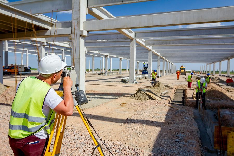
Our boundary surveying services help property owners clearly define and establish their property lines, avoiding disputes and ensuring compliance with legal boundaries. We utilize advanced GPS and measurement technologies to guarantee an accurate representation of your property's limits. For construction projects, our construction staking services offer critical guidance, translating design plans into precise on-ground markers for buildings, roads, utilities, and other development projects. This ensures construction proceeds exactly as planned and avoids costly errors. Additionally, we specialize in topographic surveys, providing detailed maps of surface features and elevations to aid in project planning, site evaluation, and design processes. Whether you're planning a large-scale construction project or need a reliable survey for environmental assessments, our team is your trusted partner in land surveying excellence.
● Commercial/ALTA Surveys
● Specialty/Technical Surveys
● Legal/Compliance Surveys
● Mapping & Planning Services
● Engineering & Construction Support